
Why home improvement has surged and how it's changing America
September 13, 2020
AP EXPLAINS: Biden sizable but not radical tax plans
September 13, 2020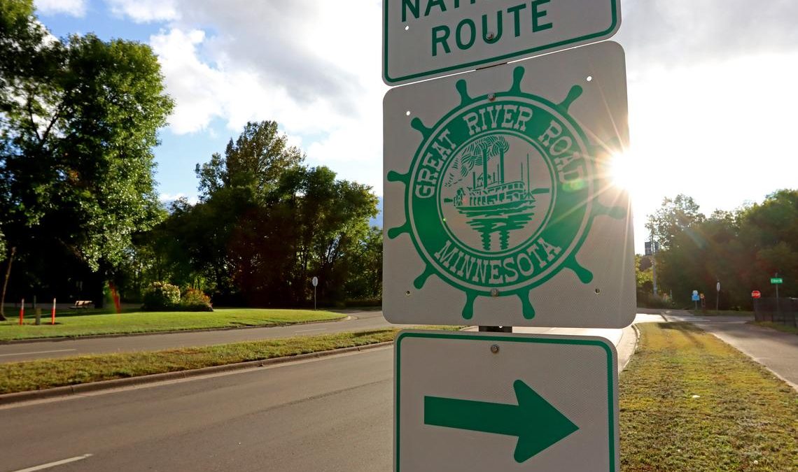
The Great River Road extends more than 2,500 miles from Lake Itasca to the Gulf of Mexico and offers the most diverse views of the Mississippi River along the scenic byway in Minnesota. Minnesota’s Great River Road is the designated travel route to reach them all.
“The Mississippi River is one of the greatest rivers in the world,” said Karl Samp, a Minnesota Mississippi River Parkway commissioner.
A sign for the Great River Road points the way for drivers taking the national route Wednesday, Sept. 9, along East College Drive in Brainerd. Kelly Humphrey / Brainerd Dispatch
The Great River Road in Minnesota travels 565 miles following the Mississippi River on its way to the Gulf of Mexico from the Mississippi River headwaters in Itasca State Park.

“When people travel from overseas and come to Minnesota, there are two things they want to see: the Mall of America and the Mississippi River,” Samp said.

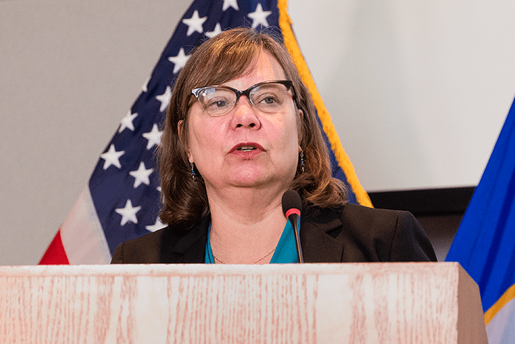
Karl Samp is executive director of the Brainerd Lakes Area Community Foundation. Frank Lee / Brainerd Dispatch
Samp represents the Brainerd-to-Elk River region and said tourism spending in communities along the river is double the amount spent in communities not along the river. Samp has been active in riverfront development efforts in Brainerd and St. Cloud.
“The Great River Road is America’s oldest and first national scenic byway — started in 1938 — and goes right through our town of Brainerd,” said Samp, who is executive director of the Brainerd Lakes Area Community Foundation. “I think it’s one of our best-kept secrets.”
September is Drive the Great River Road Month, and one of Minnesota’s prettiest months, when the dimming light of summer shows off the colors of the landscape, according to Minnesota Mississippi River Parkway Commission Director Chris Miller.

Chris Miller is director of the Minnesota Mississippi River Parkway Commission. Frank Lee / Brainerd Dispatch
“Even though we’re right here in the heart of ‘lake country,’ nobody’s ever heard of Gull Lake or the Whitefish Chain (of Lakes) or anything like that when they’re coming from out of the country or even from out of state. But everybody knows about the Mississippi River,” Samp said.
Urban centers, college towns, working river ports, iconic mill towns and a colorful collection of Minnesota communities can be found along the Great River Road. The Mississippi River travels through 43 towns, 20 counties and the lands of three tribes as it makes its way to the Iowa border. These communities offer a change of pace, history and opportunities to get on or beside the river.
“I think a lot of people here just take the Mississippi River for granted. I have to say, you know, I live off the Great River Road, and I was probably here 10 years or so before I ever even realized that it was here and what it was,” Samp said.

A sign at Kiwanis Park has area map of the Great River Road Wednesday, Sept. 9, in Brainerd. Kelly Humphrey / Brainerd Dispatch
Lake Itasca is a quintessential bucket-list destination, according to Miller, where ancient pines and pristine lakes dominate the headwaters area and the river meanders lazily. Large lakes and reservoirs provide supreme views and recreational opportunities.
“And when you get here in Brainerd, you know, we’ve got a lot of public land along the river on the trail that runs along it for a long way starting by the athletic field … so right here in Brainerd that’s a really nice place to explore,” Samp said.
St. Anthony Falls, the river’s only major waterfall, marks the Twin Cities’ reach where it played a crucial factor in drawing Native Americans, European explorers and American industrialists, all of whom left their mark on the landscape and the economy, according to Miller.

A sign at Kiwanis Park explains what the Great River Road is Wednesday, Sept. 9, in Brainerd. Kelly Humphrey / Brainerd Dispatch
“I think now with COVID, it’s a really unique opportunity to get in the car with the family and drive the Great River Road,” Samp said.
Minnesota’s Mississippi River Parkway Commission’s stated mission is “to preserve, promote and enhance the scenic, historic and recreational resources of the Mississippi River, to foster economic growth in the corridor and to develop the national, scenic and historic byway known as the Great River Road.”
“People aren’t comfortable yet getting in planes or taking a plane trip (during the coronavirus pandemic) … and I think it’s the perfect time to hop on the road and just see the beauty and the culture and heritage and history that’s along the river that is spectacular,” Samp said.
For more details about Minnesota’s Great River Road, and to plan a trip with online mapping and information on more than 700 things to see and do, visit mnmississippiriver.com.
- Lake Itasca: The journey of this world-renowned river begins at Lake Itasca. But there is more here than the point where the Mississippi spills out. The lake lies within the 32,000-acre Itasca State Park, the second oldest state park in the U.S.
-
Serpentine river: After percolating from Lake Itasca, the infant river follows a serpentine course to Brainerd, frequently twisting back on itself, leaving cut off lands and oxbows.
-
Headwaters lakes and reservoirs: The headwaters region includes thousands of lakes and is the largest contributor to America’s first reservoir system. Created by the Corps of Engineers over 100 years ago, the reservoirs provide a wide range of scenic views.
-
Prairie river: From Brainerd to St. Anthony Falls, the Mississippi becomes a prairie river as it straightens out and islands replace oxbows. Here, the prairie runs up to the river’s banks, not bluffs.
-
St. Anthony Falls: No place anchors the Mississippi’s significance in the Twin Cities like St. Anthony Falls — the river’s only major waterfall. Its physical power gave rise to Minneapolis, but its scenic power has drawn nationally known artists since the 1800s and still attracts modern-day painters and photographers.
-
The gorge: Below the falls, the Mississippi drops into the 8.5-mile gorge, stepping down 110 feet through three locks and dams, running between bluffs one-quarter to one-third of a mile apart. Nowhere does the river fall so quickly over such a short distance.
-
The Big River: The Big River – the river of Mark Twain — begins at the confluence of the Mississippi and Minnesota rivers. It is characterized by a broad valley and a wide floodplain, with many side channels, backwater lakes and wooded islands.
-
Driftless Area: Below Hastings, the Mississippi enters the Driftless Area, with its distinctive limestone bluffs. During the last ice age, glaciers bypassed the Driftless Area, creating a unique and nationally significant landscape.
Source: Minnesota Mississippi River Parkway Commission.